What Is the Purpose of a Map?
The purpose of maps lies chiefly in navigation and in helping cultures determine new trade routes. Throughout history, governments have put a priority on creating detailed, accurate maps. Today, the term “map” also refers to visual representations of various ideas and concepts.
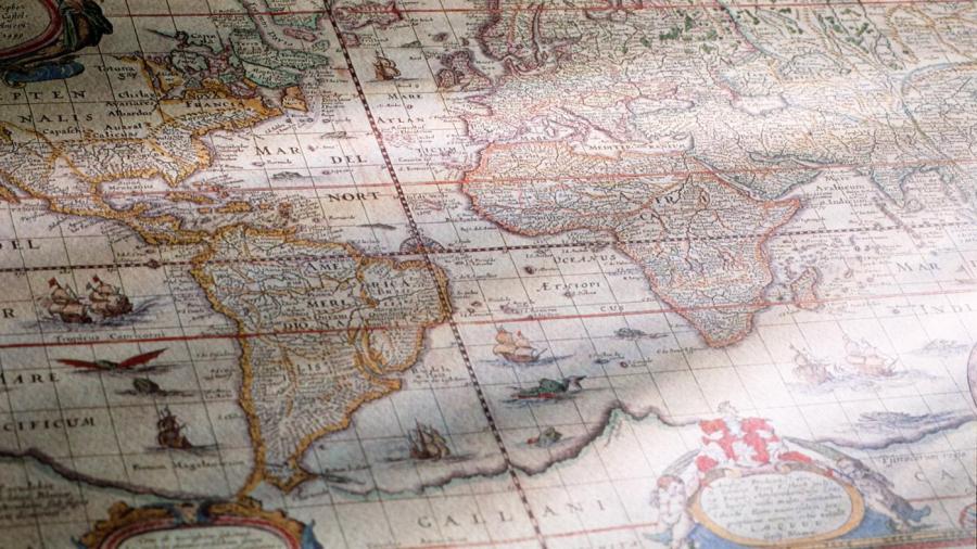
Maps allowed people to understand their place in the world, and they were invaluable tools for ancient rulers, traders and military leaders. After the advent of long-distance navigation, accurate maps allowed navigators to determine the right way to reach distant locations, and accurate maps were prized by governments.
Maps became more accurate over time, and aircraft enabled cartographers to get unrivaled views of parts of the world. It was spacecraft, however, that enabled cartographers to create top-notch maps as pictures from these space flights allowed people to see large areas from above for the first time.
Determining how to make a world map, however, is difficult. Since earth is a round planet, any flat map contains some distortions. While Antarctica looks like the largest continent on many maps, it is actually about half the size of Africa. Similarly, Greenland is shown to be far larger than it is. There are a number of alternative projections that have become more popular over the years.


