What Are the Physical Features of Nicaragua?

Nicaragua is the largest country in all of Central America, with a total area of 81,008.2 square miles. About 74,558 square miles of the country is land. Nicaragua shares a long border with Honduras in the north and a shorter border with Costa Rica in the south. It has a coastline spanning around 565 miles along the North Pacific Ocean to its west and the Caribbean Sea to its east.
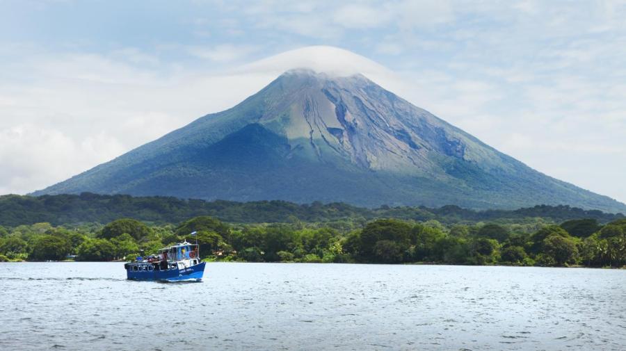
The two largest freshwater lakes in Central America, Lago de Managua and Lado de Nicaragua, are both located in Nicaragua. The Río San Juan carries water from Lago de Nicaragua eastward across the country, ultimately depositing its waters in the Caribbean Sea. The lowlands run through the Río San Juan basin, hosting both tropical rain forests and savannahs. The Nicaraguan isthmus refers to the land located between the Lago de Nicaragua and the Caribbean Sea. The Río Tipitapa brings the water from Lago de Managua southward into the Lago de Nicaragua. The highest elevations in the country are situated in an area called the central highlands, which is located in the northeast of the country. The western portion of the country is located along a fault of two tectonic plates.


