What Are the Physical Features of Italy?

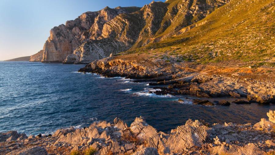
Italy, a peninsula surrounded by the Adriatic, Ionian, Tyrrhenian and Ligurian Seas, has a varied geographic makeup of mountains, volcanoes and rivers. Italy also has its own islands, including Sicily and Sardinia. These islands associate with two other major bodies of water that surround the country, the Sea of Sardinia and the Strait of Sicily.
Italy is well-known for its two major mountain ranges, the Alps and the Apennines, as the country is actually 40 percent mountainous. The Alps operate as a northern boundary, containing some of the world’s most famous mountains. One of these is the Gran Paradiso, which is located in northwest Italy’s Graian Alps. It is approximately 13,323 feet high at its summit, making it one of the largest peaks in Italy. The Apennines mountains form a kind of backbone to the country’s peninsula, containing many other famous mountains, as well, like the Corno Grande, which has a height of 9,554 feet.
There are also many famous volcanoes in Italy, and some of these volcanoes are considered still active, such as Etna, which is located on the island of Sicily. Etna is the largest volcano in Europe. There are also many small, volcanic islands located in the south, such as Capraia, Ponza, Ischia and Eolie.
Italy has many rivers draining into the Adriatic Sea, such as the Piave, Adige, Brenta, Tagliamento and Reno. The Po river also drains into the Adriatic and is known for being one of the largest rivers in the world, flowing for over 400 miles and passing through many of the country’s major cities, such as Turin, Piacenza and Ferrara.


