What Are the Physical Features of Argentina?

Argentina is a large country with many different physical features, ranging from the crest of the Andes Mountains to the estuary known as Rio de la Plata. The country lays claim to land in the continents of South America and Antarctica and includes several islands. Geographers divide Argentina into six distinct regions: the Parana Plateau, the Gran Chaco, the Pampa, the Monte, the Patagonia and the Andes Mountains.
Argintina’s Parana Plateau is located in its extreme northeast with features of south Brazil’s highlands, of which it is an extension. It is the wettest part of the country, with dense forest.
The Gran Chaco is a flat plain that has a subtropical climate. It floods seasonally. Due to poor drainage, much of the Gran Chaco remains as marshlands for most of the year.
The Pampa is a large natural grassland that contains most of Argentina’s cities. It has deep, rich soil that is ideal for agriculture. Roads and railroads provide South America’s densest transportation network.
The Monte is an arid region located in the Andes’ rain shadow. Vegetation varies from cacti to short grasses. There are oases where crops grow. In addition, mines provide many valuable minerals.
The Patagonia is a windswept plateau with deep rivers in southern Argentina. The environment does not encourage development of the area, and it includes vast regions that are uninhabited. It is Argentina’s primary oil-producing region.
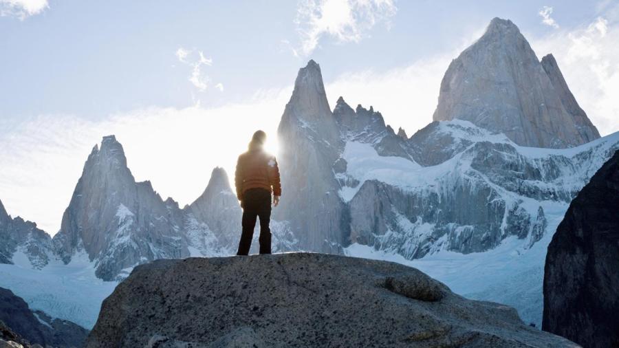
The Andes Mountains include some of the highest elevations in the world. They range from snow-capped mountains to desert ranges. While timber grows in some of the regions, it is difficult to access and harvest.


