What Are Some of the Physical Characteristics of Egypt?
The majority of Egypt’s landmass is a flat and featureless desert which supports only minimal vegetation. In the upper eastern corner of the North African country, the mountainous Sinai Peninsula borders Israel and is separated from the rest of the African landmass by the Suez Canal. Egypt is a transcontinental country in which the Isthmus of Suez serves as a land bridge between the continents of Africa and Asia.
One of Egypt’s defining characteristics is the Nile River and its delta. Without the benefit of the Nile River’s waters, Egypt might have become as empty as the other regions of North Africa covered by the Sahara Desert. The Nile is flanked by floodplains that widen as the river flows north to the Mediterranean Sea, eventually fanning out to form the Nile Delta north of Cairo, the nation’s capital. Due to the arid condition of the rest of the country, the population centers are around the narrow Nile Valley and the Nile Delta, with 99 percent of the population using only about 5.5 percent of the country’s territory.
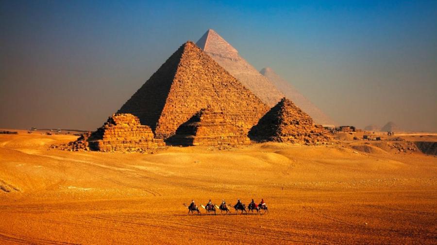
The Giza Necropolis is Egypt’s most iconic man-made physical characteristic, with its pyramids and the Great Sphinx representing a huge tourist attraction. A much more recent man-made physical feature is the Suez Canal, which is considered the most important component of Middle Eastern maritime transport. Opened to shipping in 1869 after 10 years of construction work, Egypt’s artificial waterway traversing the Isthmus of Suez connects the Mediterranean Sea with the Red Sea. The Suez Canal enables ship transport between Europe and Asia to take place without a need to navigate around Africa.


