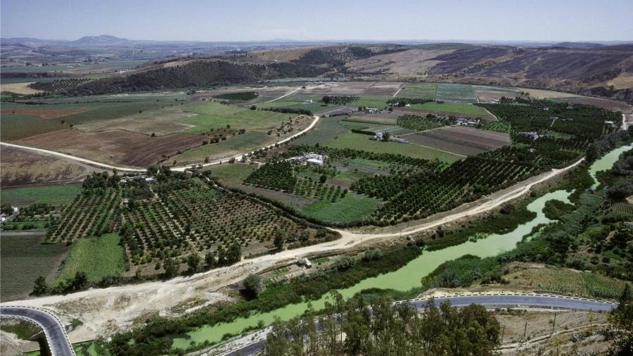
What Are the Major Landforms of Spain?

Major landforms in Spain include the Meseta Plateau, which covers 45 percent of the country, the Andalusian Plain in the southeast, the Pyrenees Mountains that define the border between Spain and France, and the Ebro River Basin in the northeast. Spain is located on the Iberian Peninsula.
Important mountain ranges found in Spain include the northern peaks of the Cordillera Cantabrica and the Sistema Iberico, the Montes de Toledo and Serrania de Cuenca in the center and south of the country, and the Sierra de Cuenca to the east. The major mountain ranges located in the south are the Cordillera Betica and the Sierra Nevada. The highest elevation in the mainland country is found in the Sierra Nevada, at the Mulhacén peak of 11,413 feet above sea level. The highest elevation in the entire country is found in the Canary Island, with the 12,198-foot-high active volcano Teide.
In addition to the Canary Islands in the Atlantic Ocean, islands that are part of Spain are situated in the Mediterranean Sea. Islands include Tenerife, Lanzarote, Ibiza, La Palma, Majorca and La Gomera. The Sistema Central around Madrid divides the country into northern and southern portions. The highest peak in that range is Pico Almanzor. The country has alluvial plains on its coast.


