What Are the Major Landforms in Russia?

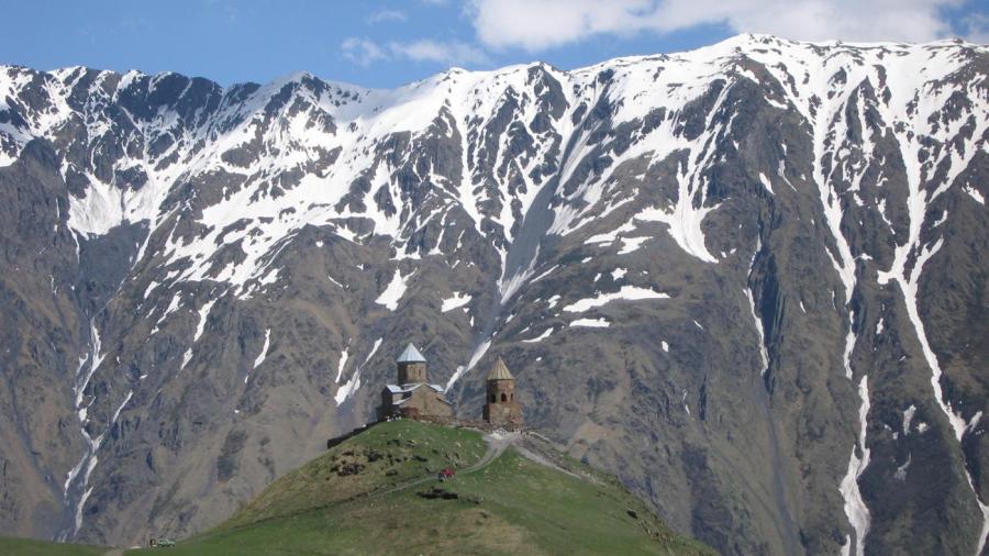
Major landforms in Russia include the Caucasus Mountains, the Ural Mountains and the Volga River. Other mountain landforms include the Kolyma Mountains, while major rivers include the Kolyma, the Dnieper and Dvina in the west, the Lena, Ob and Yenisey in the center of the country, and the Amur in the east. Major lakes include Lake Baikal.
Russia has two plains, one of which is the East European Plain that covers most of the European part of Russia. The West Siberian Plain extends from the Ural Mountains to the Yenisei River, making it the largest plain in the world. The Siberian Lowland is an extension of the West Siberian Plain, covering the Taymyr Peninsula on the Arctic Ocean. The Central Siberian plateau is located to the east of the West Siberian Plain, from the Yenisei River to the Lena River. The Sayan and Stanovoy Mountains are to the west of Lake Baikal. The Caucasus Mountains are situated between the Black Sea and the Caspian Sea and are home to Mount Elbrus, the tallest mountain in Europe, with a peak of 18,510 feet above sea level. The Ural Mountains are part of the boundary between the continents of Asia and Europe, extending about 1,300 miles from the Arctic Ocean to Kazakhstan’s northern border. The highest mountain in the range is Mount Narodnaya at 6,214 feet above sea level.


