What Are the Major Landforms in Mexico?

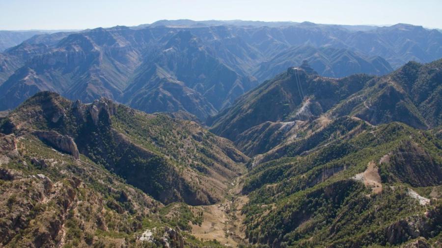
Mexico is a country with a diverse range of landforms, from the Sierra Madre Occidental mountain range, which stretches from the northern part of the country to the south, to the Gulf Coastal Plain, which lays eastward of the Sierra Madre Occidental range on the coast of the Gulf of Mexico. Mexico is home to Copper Canyon, the deepest canyon in North America, a string of active volcanoes, the Baja and Yucatan Peninsulas, more than 100 rivers and the Central Mexican Plateau, which dominates northern and central Mexico. Bordered by the Pacific Ocean to the west and the Gulf of Mexico to the east, Mexico has thousands of miles of coastlines as well.
In addition to the Sierra Madre Occidental, Mexico is home to a number of other mountain ranges, including the Sierra Madre Oriental and the Peninsular Ranges. Mexico’s volcanic ranges include the Pico de Orizaba volcano, which is the third-highest peak in North America. The country’s diverse physical geography includes shrubland, tropical coastal areas, long stretches of desert and snowy mountain peaks. The Rio Grande river, one of the largest rivers in Mexico, begins in the United States in the San Juan Mountains of Colorado, running south through the U.S. and into Mexico, where it empties in to the Gulf of Mexico.


