What Are the Major Landforms of Italy?

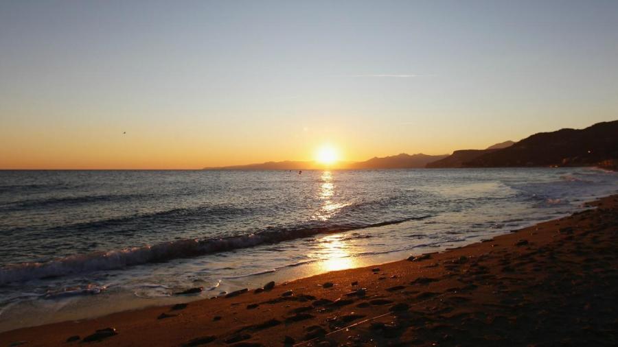
The major landforms of Italy are mountains, volcanoes, beaches and islands. The shape of a boot that extends into the Mediterranean Sea is the country’s most distinctive feature.
The major mountain range in Italy is the Alps. It is a continuous mountain range that acts as Italy’s border with Switzerland, Austria and France. The Alps begin in North Africa and run throughout much of Europe. This mountain range is called the Atlas mountains in Africa. The Alps spread to the Himalayas.
The Vulcano, Stromboli, Vesuvius and Etna volcanoes are all a part of Italy’s landscape. Some prominent landforms were created as a result of erupting volcanoes, such as the Seven Hills of Rome. The volcanoes begin their stretch in Tuscany and extend south to Sicily.
Italy has islands near its southern end. Some are made of limestone, and others were created from volcanic ash. Sicily is the largest Italian island at 10,000 square miles. Most of the other islands are quite small in comparison.
During the Quaternary Ice Age, several lakes were formed in what is now Italy, and some are quite deep. In fact, Lake Garda in southern Italy extends 500 feet below sea level. The deepest lake is Lake Como at 1,000 feet deep.


