What Are the Landforms of Pakistan?
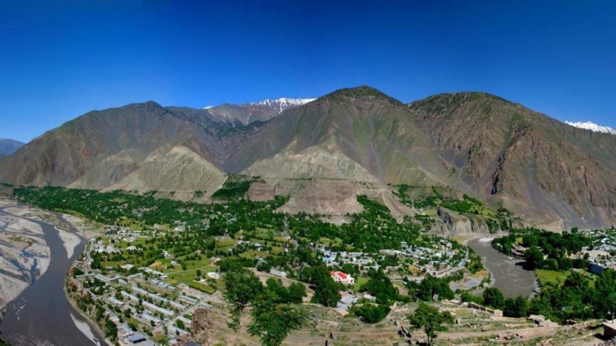
Major landforms in Pakistan include the Khyber Pass, Bolan Pass, Balochistan Plateau, Indus River plain, Hindu Kush, Karakoram Range and Himalayan Mountains. The highest elevation in Pakistan is found in the Himalayan Mountain peak K2, which rises 28,269 feet above sea level.
Additional mountainous areas in Pakistan include the Safed Koh Range, Sulaiman Range and Kirthar Range, all of which are located in a part of the country known as the northern highlands. Passes between these mountains that cross the border between Pakistan and neighboring Afghanistan include the Khojak Pass and the Broghol Pass further to the north. The Indus plain area, which is characterized as the region affected by the Indus River, includes both the upper and lower Indus River basins. The Potwar Plateau contains the higher elevations in the Indus plain and leads to the foothills of the Himalayan Mountain range. The Indus Valley desert is also located in the Indus plains. The Punjab Plain is the area between the Indus River and the border with India. The Balochistan Plateau is in the southwest of the country and leads to the border with Iran. The Kharan Desert is located in the southwest of the country. Pakistan spans both the Eurasian and the Indian tectonic plates.


