What Are the Landforms of Mississippi?

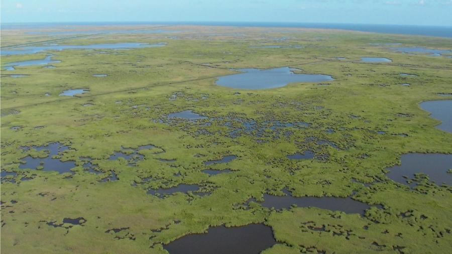
Major landforms in Mississippi include the Mississippi Plain; Coastal Plain; coastal wetlands; Mississippi, Pearl, Big Black and Yazoo rivers; Ross Barnett Reservoir; Mississippi Sound; and Enid, Grenada and Sardis lakes. Other significant landforms include the Pascagoula River, Tombigbee River, Arkabutla Lake, Cumberland Mountains, Bay St. Louis, Bay Biloxi, Bay Pascagoula and Mississippi Delta.
The highest elevation in Mississippi is in the foothills of the Cumberland Mountains at Woodall Mountain, which measures 807 feet above sea level, while the lowest elevation is found at sea level along the Gulf Coast. The East Gulf Coastal Plain covers most of the state, including the low hills of the Pine Hills and the North Central Hills. Sardis Lake is the largest lake in Mississippi, with a surface area of 98,520 acres and volume of 1.51 million acre feet. It is fed by the Little Tallahatchie River. The Mississippi Delta is the area bounded by the Mississippi River and the Yazoo River and is part of the Mississippi alluvial plain. The longest river in the state is Pearl River, which enters the Gulf of Mexico after a 450-mile path. Mississippi Sound is home to a number of small islands that are part of the Gulf Islands National Seashore, including the islands of Petit Bois, Cat, Ship and Horn.


