What Is an Elevation Map?
Follow Us:
Twitter

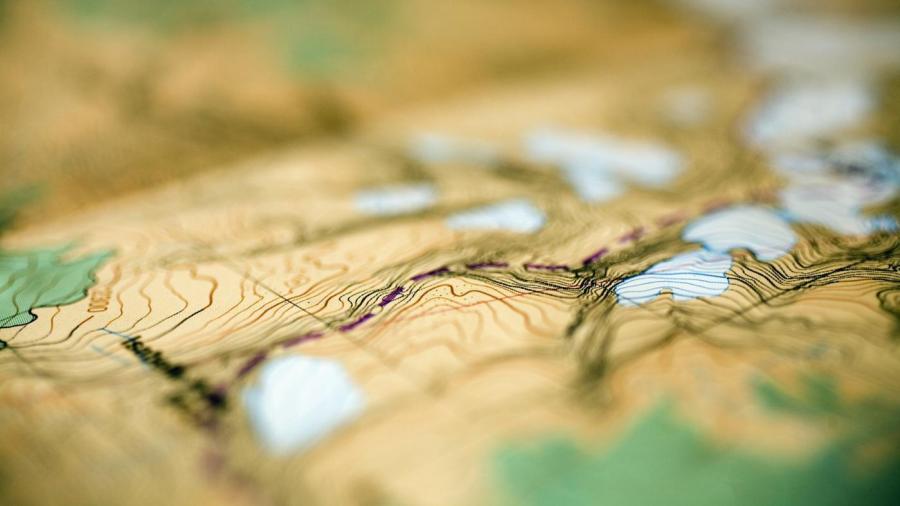
An elevation map reflects the elevation of the region being depicted; this is usually done using lines, shading and color patterns. 3D models of elevation maps provide higher resolution and more accurate data, according to the U.S. Geological Survey. Another term for an elevation map is a topographic map.
There are many reasons why it is necessary to see the topography of an area on a map. Understanding topography can help scientists track changes in landscape. It can help planners determine an area’s suitability for building and farming. Elevation maps also provide a better understanding of weather patterns, since elevation can affect wind speed and heat dispersion.


