What Is the Difference Between a Natural and Political Boundary?

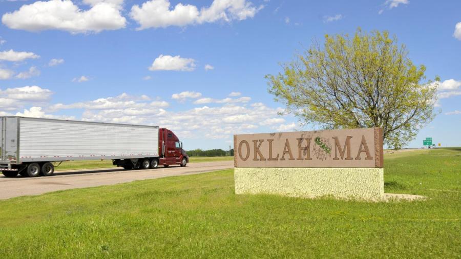
The difference between a natural boundary and a political boundary is that a natural boundary is a physical boundary, such as a river, mountain or ocean, and a political boundary is another name for a border, where countries, states or cities are separated. Natural boundaries don’t change often, but political boundaries can change for political reasons or if areas of land are taken over during a war.
Many of the common boundaries are quite large, such as the Rio Grande, which forms a natural boundary between the United States and Mexico. Likewise, the Mississippi River separates several states in the Midwest, and people commonly refer to states as being either west of the Mississippi or east of the Mississippi.
Natural boundaries can also be found in the form of tectonic plates below the Earth’s surface. These boundaries are constantly moving. When these natural boundaries collide or move on top of one another, earthquakes can occur.
The best way to determine a political boundary is to look at a map. Most maps show the political boundaries of a city, county, state or country. The political boundaries on a map show the separation of groups of people and which government they are governed by.


