What Countries Make up the Baltic States?
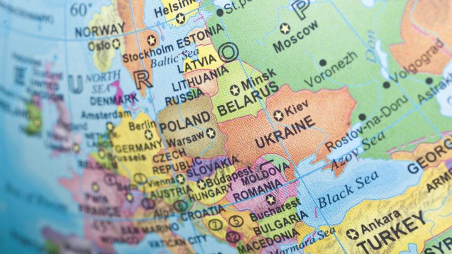
The countries that make up the Baltic states are Estonia, Latvia and Lithuania, running from north to south. These states were a part of the Russian Empire until 1920 after having declared independence in 1918. After the Second World War, the three countries became part of the Soviet Union.
These countries are considered Baltic states because they all have coastlines along the eastern coast of the Baltic Sea. The Latvian and Lithuanian languages are part of the Baltic language group. As of 2014, the three countries are home to over 6.2 million people. The countries contain a total area of 67,523 square miles, giving the region a total density of 102.4 people per square mile.
As of 2014, the largest city in the Baltic states is the Latvian capital of Riga, which has a population of 643,368 people. Vilnius, the capital of Lithuania, is the second-largest city in the region, home to 529,022 people. The third-largest city in the region is the Estonian capital of Tallinn, which has a population of 411,063 people.
The prevalence of amber on the shores of the Baltic states led to the creation of the Amber Road as a trade route passing through the three countries. The Baltic Sea coastline is also known as the Amber Coast.


