What Was the Climate Like in the Area Where the Iroqois Lived?

The climate in the areas where the Iroqois Indians lived falls within the humid continental climate classification system. Iroquois Indian lands and influence extended north into Canada and south to today’s Tennessee border.
The Iroquois Five Nations, composed of the Seneca, Mohawk, Oneida, Onondaga and Cayuga Indian nations, were the most prominent Native American groups in New York State between the Allegheny Mountains and the Great Lakes. This region is often referred to as the Eastern Woodlands because of its heavy forestation. It is also a region filled with waterways and migratory animal paths, making it relatively easy to travel through.
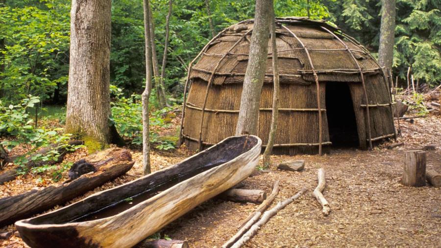
The Iroquois were well-adapted to their climate. They dressed in layers, so it was not hard to remove clothing for warmer Kentucky summers and add more for cold Great Lakes winters. Women grew squash, bean, and corn crops in semi-permanent villages built near creeks and rivers, where the region’s frequent floods ensured fertile soil. Men took advantage of the easy travel in the region for hunting, fishing and trading. Wigwams and canoes were made of bark stripped from the ubiquitous trees; they were lightweight, waterproof and easy to build.
The climate also shaped the culture. Because the Five Nations held permanent farm territory but shared hunting grounds and commonly traded, they created a confederation for mutual trade, law and self-defense. In the structure of the Five Nations government, one can see the roots of the later United States of America.


