What Are Some of China’s Landforms?
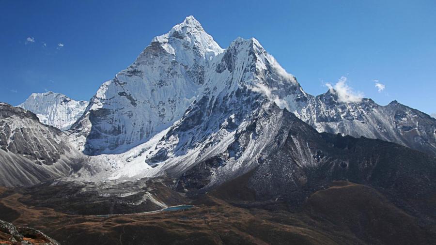
China is a huge country with a wide variety of landforms, from the southwestern Himalayan Mountains, including Mount Everest on the Nepal-China border and the massive Gobi and Takla Makan deserts to the north. Other notable landforms include the picturesque mountains and waters of the Li River Scenic Area and the layered rock of the Zhangye Danxia Landform, a desert-like plateau reminiscent of the landforms found in the American Southwest. China also has miles of coastline along the Pacific Ocean and smaller sea bodies, including beach-like areas along the South China Sea close to more tropical Asian nations, such as Vietnam and Thailand.
In addition to mountains, deserts, beaches, river valleys, plateaus and coastal areas, China is home to acres of forests, including bamboo forests that are home to rare animals, such as giant pandas. There are many river systems in China as well, including that of the Yangtze River, which is the third-longest river in the world, and the Yellow River, which is the sixth-longest river in the world. In addition to the diverse natural landforms that characterize this large nation, there are some man-made features, such as the Great Wall of China, that have a large impact on China’s physical geography.


