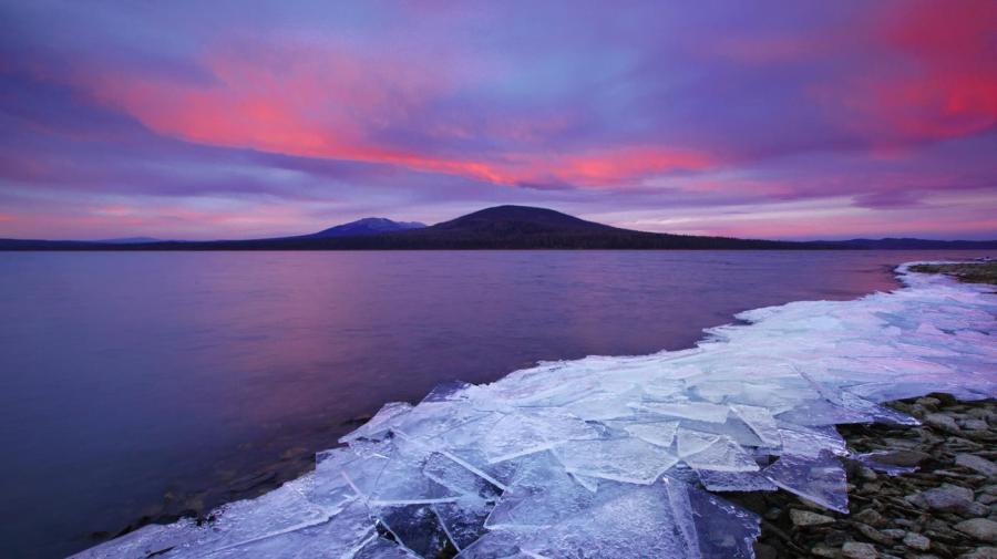
What Are Some Facts About the Ural Mountains?

The Ural Mountains are about 1,500 miles long and run from north to south, from near the Aral Sea to the Arctic Ocean, passing through Russia and Kazakhstan. They have traditionally been used on maps as the boundary between Europe and Asia although they may not be a completely accurate boundary mark.
The Ural Mountains are among the richest in minerals in the world and have been mined for hundreds of years. They provide coal, iron, silver, gold, lead, salt, aluminum, magnesium, diamonds and a wide range of other gemstones.
The highest point of the mountains is the peak of Mount Narodnaya, which stands at 6,214 feet. The mountains are divided into five subsections: the southern, middle, northern, pre-polar and polar regions.
Animals, trees and plants native to Siberia are found in the Ural Mountains. Some examples are lynxes, wolverines, brown bears, elks, Siberian pine trees and Norway spruce trees.
The Ural Mountains are estimated to be 250 to 300 million years old. Their height has lowered considerably over time and are mere hills in some places.
Though the mountains are often used as a border between Europe and Asia, they don’t serve as a barrier. The Mongols had no trouble passing through them to invade Russia in the 13th century.


