What Is a Satellite Image?
A satellite image is an image of the whole or part of the earth taken using artificial satellites. These images have a variety of uses, including: cartography, military intelligence and meteorology. Satellite images can either be visible light images, water vapor images or infrared images.
Visible light satellite images are photos of what the sky and the ground look like from space at any given time. This form is primarily used during daylight hours. Night shots may be used to track human habitation or to document nocturnal light sources.
Infrared images detect heat patterns in the clouds and on the ground. Since infrared satellite imagery doesn’t rely on visible light for illumination, these images can be taken at any time of day.
Water vapor images show moisture in the atmosphere, often in the form of clouds. These are used in tracking potential storms and general weather prediction.
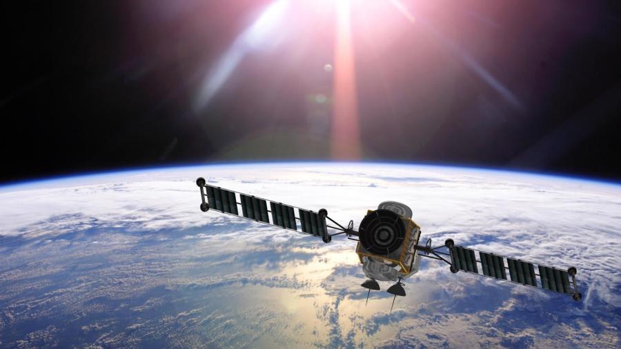
The CIMSS states that satellite images provide a good representation of what happens everywhere around the world, particularly over oceans where large data gaps occur. It improves forecasting accuracy by allowing meteorologists to understand atmosphere behavior much more clearly. The two types of satellites orbiting the Earth are the geostationary and polar satellites. Geo Graphical Stationary Operational Environmental Satellites stay above a fixed region on the Earth’s surface, around 22,500 kilometers above the equator. These satellites always view the same part of the globe, as they rotate with the Earth, allowing meteorologists to see how the weather develops. In contrast, the polar orbiting satellites orbit at lower elevations, around 800 to 900 kilometers above the equator. They follow a new path on every orbit. Geostationary satellites are more useful to operational meteorologists, as polar satellites do not view the same region continuously.


