Which Countries Form the Iberian Peninsula?
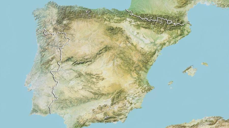
The Iberian Peninsula, which is located in southwestern Europe, is formed primarily by the three countries of Andorra, Spain and Portugal, and contains small portions of France and the British-owned territory of Gibraltar as well. The Iberian Peninsula covers approximately 225,000 square miles, and forms the southwestern-most corner of the European continent. It is the third largest peninsula in Europe; the Scandinavian Peninsula and Balkan Peninsula are the largest.
The Iberian Peninsula is one of the largest and oldest peninsulas in Europe. It was first inhabited by humans during the times of ancient Greece, when Greek settlers, called Iberians, settled onto its lands. The name for the peninsula derives from the Iberus River, which is the second-longest river within the Iberian Peninsula. This peninsula forms the southernmost point of the European continent and contains several prominent physical features such as mountains and large rivers.
It has a varied topography, including the Pyrenees Mountains in the northeast, which provide a physical buffer between the Iberian Peninsula and the surrounding European continent. The southern part of the peninsula borders the Strait of Gibraltar, which separates the peninsula from North Africa. The Iberian Peninsula is surrounded by two other bodies of water: the Atlantic Ocean forms the shores of the western and northern coastlines, while the Mediterranean Sea creates the boundary of the eastern shore.