Where Can You Find Aerial Views of Property Lines?
Follow Us:
Twitter
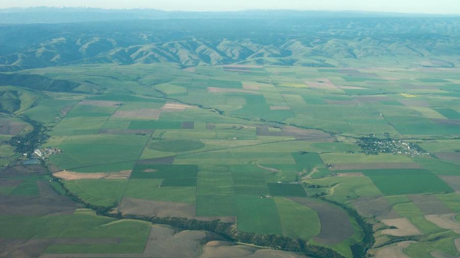
Maps-Live and Harvard University tell people how to access aerial views of property lines, primarily using Google Earth and Bing Maps. These free online mapping applications require users to enter property addresses to view maps and satellite images.
Google Earth and Bing Maps can display satellite views with map overlays that depict property lines. The satellite images change frequently. Satellite maps that show aerial views of property lines help users clarify any questions regarding property ownership or other information. Users can save specific property imagery to download or print. Harvard provides additional resources and websites to assist users in the search for accurate property lines.


