What Are Some of the Major Landforms in Honduras?
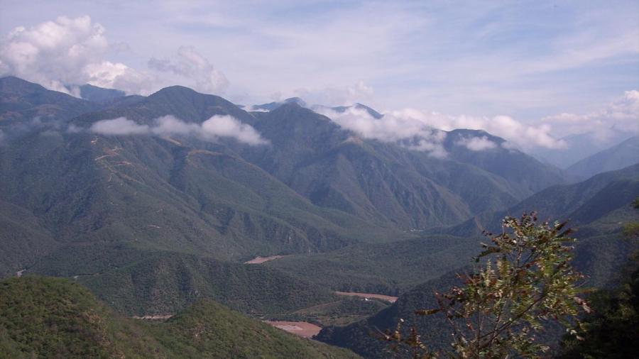
Some of the major landforms found in Honduras include the large interior plateau of hills and mountains, the Pacific lowlands and the Caribbean Lowlands. The climate varies from temperate in the mountains to tropic in the lowlands. An extensive system of rivers crisscrosses the Sierra Madre mountains, and the interior hills, and wide, fertile valleys are found in this region.
The Caribbean Lowlands are fronted by sandy beaches and stretch across the northern coastline. This region contains the Mosquito Coast, an uninhabited area of jungle, lagoons and mangrove swamps. The Pacific lowlands are considerably smaller in size and surround the Gulf of Fonesca in which a few dormant-volcano islands can be found. This lowland area becomes swampy near the coast. Overall, Honduras is a water-rich country, with hydropower considered one of its natural resources. There is only one significant lake named Lake Yojoa, but there are many important rivers.
The mountainous interior region is home to most of Honduras’ population and accounts for 80 percent of its total area. Numerous flat-floored valleys are found here with villages, towns and the country’s capital, Tegucigalpa, located on the larger ones. The land in this region is mostly difficult to cross and not well suited for cultivation because of the rugged terrain. Soil quality is also poor. A convenient and prominent depression runs across the country through the highland region and provides a relatively easy transportation route between the northern and southern coasts.


