What Is a Legend on a Map?
A map legend is a side table or box on a map that shows the meaning of the symbols, shapes, and colors used on the map. The map legend is sometimes called the map key. The map legend often also has a scale to help the map reader gauge distances.
Map legends historically have been fixed elements on a printed map, but interactive digital maps often include dynamic map legends.
What’s on a Map Legend?
A map legend shows colors, shapes, and symbols to define a certain characteristic of the map. On a physical location map, you might find areas of lakes, rivers, and mountain ranges highlighted in the map legend for the type of map that’s being used.
On a political map, you will find areas of influence pertaining to a political party or individual politician. A map legend will show colors and shapes for the political influences, such as parties, that are dominant in a particular state or region.
Using a Map Legend
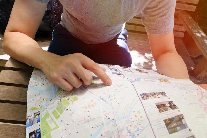
Map legends are often found in a top or bottom of a map, with a color or symbol and a description for what these colors and symbols mean. Check your map area, and then consult the map key for a clearer definition of the part of the map you’re seeing.
The map legend’s purpose is also to show relationships between certain things. You might be in a major metro area and consult the subway map, as an alternative to taking a bus or car. The map and its legend can highlight not only the distance but also the complexity or ease of your trip using a public subway. This value in highlighting spatial relationships is a key asset to a printed map legend.
Types of Maps Legends
There are many different types of maps, so the map legend varies according to the purpose of the map. On physical geographic area maps, the shapes and symbols likely show the location for towns and cities, rivers and lakes, government buildings, county borders, and highways. On more specialized maps, the map legend will differ. For example, on a map of a large building or complex, doors, windows, exits, stairwells, fences, property boundaries, and more will be highlighted in the map legend.
Types of Printed Maps
Since the dawn of man, mapmakers and cartographers have created maps for guidance by travelers. Early maps were first started getting made on tablets made from clay, and later onto parchment paper and finally to printed maps and book atlases.
Today, there are many types of maps and their corresponding legends. You can find common foldable printed road maps and large road maps in bound atlas form. If you’re a meteorologist, you will consult weather maps and climate maps. There are reference maps, political maps, population maps, gender maps, and more.
Benefits of Printed Maps
Printed maps have lost general usage during the past 20 years, due to the rise of satellite-aided GPS on mobile devices. Having a voice direct you in your car via your mobile device is an innovation few of us could live without today. However, printed maps and their legends can often guide us in ways on our travels that small screens cannot.
For instance, looking at a larger map can give travelers an idea of what’s in the surrounding area, and not just on the direct route to the location. If you are holding a hiking map, you can gauge the distance between your start and your turnaround loop using a printed map.