What Are Some Interesting Facts About Georgia’s Coastal Plain?
Georgia’s Coastal Plain makes up about 60 percent of the state’s land area. The southeast Lower Coastal Plain in Georgia is also the lowest lying land on the Atlantic coastal plain, which is the largest physiographic region in the United States and extends from the New York Bight to the West Gulf coastal plain in the south of Texas.
The Coastal Plain in Georgia used to be underwater, which explains its sandy flat plains and rolling hills. It is composed of two parts: the Upper Coastal Plain and the Lower Coastal Plain. Georgia’s Upper Coastal Plain is bounded by the fall line on the north, a geographical boundary that extends 20 miles from Augusta to Columbus and divides the state. Water-heavy crops, such as peanuts and cotton, are grown in the Upper Coastal Plain.
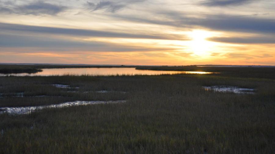
The Lower Coastal Plain makes up most of the coastal plain with the swamps and the Atlantic Ocean. The Southeastern region is also known as Georgia’s wiregrass region because wiregrass and pine trees thrive in its sandy beaches. The longleaf pine-wiregrass forest is unique in the Coastal Plain. It once covered about 90 million acres of land from Texas to Georgia up to the east coast of Virginia, but only several thousand acres of the forest now survive throughout the southeastern part of Georgia’s Coastal Plain.